
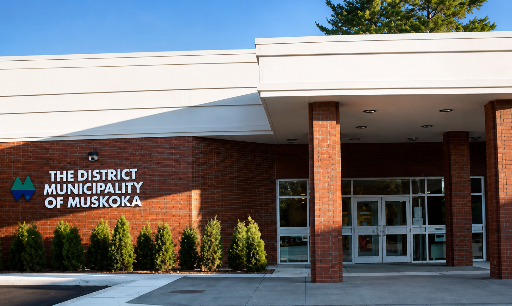
The District is inviting residents, property owners, businesses, and community partners to learn more about proposed Flood Plain Mapping and Policy updates (part of Component 3: Environmental Resiliency) to the Muskoka Official Plan at an upcoming public information session on Thursday, July 23.
The proposed revisions to the Muskoka Official Plan include changes related to updated floodplain mapping, and other planning policies to guide future growth and development, protect human health and safety and the environment across Muskoka.
“As we plan for Muskoka’s future, it’s important that our policies reflect today’s environmental realities while also responding to the feedback we’ve heard from our communities,” said Jeff Lehman, Chair of the District of Muskoka. “The proposed floodplain mapping and environmental resiliency updates will help guide safer, more informed decisions about development in areas affected by flood hazards, while protecting people, property, and the environment. We encourage residents to attend the information session to learn more about the proposed revisions and what they mean for their properties and communities.”
Updates to Flood Plain Mapping
One of the key proposed revisions to the plan is updated floodplain mapping. Following a number of significant flooding events, and in response to provincial requirements to identify and protect residents from natural hazards, the District has both updated existing mapping and completed new floodplain mapping for previously unmapped areas for a total of 96 lakes and rivers using modern technology and current watershed data.
The amendments related to floodplain mapping address flood hazards across the District to support more consistent planning for waterfront development across Muskoka. Properties with existing development in identified flood hazard areas are still able to repair, rebuild or add minor additions to their homes or cottages. To address public feedback received through the Official Plan Review process about additional restrictions proposed for Lake Muskoka and Georgian Bay (Large Inland Lakes), staff have now incorporated flexibility into the draft policies for development within the flood hazard limits on these waterbodies, while maintaining consistency with the Provincial Planning Statement
“Most waterfront properties affected by the updated mapping already have some level of development restrictions in place,’ said Julie Stevens, CAO, District of Muskoka. “Existing homes and cottages can generally continue to be repaired, rebuilt, renovated, and, in some cases, modestly expanded, subject to applicable approvals.”
The proposed updates are intended to improve public safety, reduce future flood risks, support informed planning decisions, and provide better information for property owners, local municipalities, and emergency planning.
Public Information Session
Community members are invited to attend the information session, with presentations beginning at 6pm, and information tables to follow:
Thursday, July 23, 2026
In-Person Information Session
6 p.m. to 8 p.m.
Terry Fox Auditorium
Gravenhurst Centennial Centre
101 Centennial Drive
Gravenhurst
Residents are encouraged to review the proposed updates before attending the sessions.
To learn more about the June 2026 Committee report, visit: https://muskoka.civicweb.net/filepro/documents/45110/?preview=45203
To learn more, review the proposed Official Plan updates, and for more details on the information session visit: www.engagemuskoka.ca/muskoka-official-plan
Don’t miss out on Doppler!Sign up here to receive our email digest with links to our most recent stories.
Local news in your inbox six times per week!
Click here to support local news

0 Comments