This photo was posted in Muskoka History and Genealogy.
The caption reads: “William Ira Mattice was married twice. Once to Rebecca Ronan and after her passing Wm. married Margaret Hannah Brownell under the name Matthias in order to retain his tract of land which he later developed into the town of Matthiasville complete with church, schoolhouse, graveyard, and a grist mill in 1853. Matthiasville and Matthiasville Falls, Ontario were located where the current Orillia Power Damn sits.
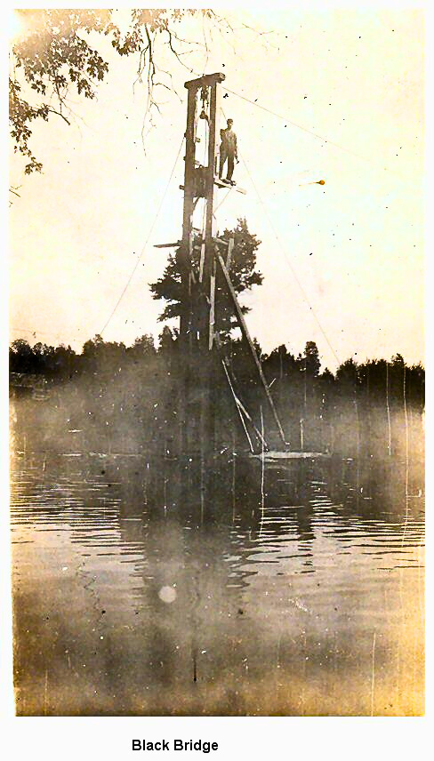
In 1870, at the start of it all, William Matthias had built a wooden king post truss bridge over the South Muskoka River, making his settlement the all-important crossing point in this section. That original wood crossing was replaced by an iron bridge at the top of the falls around 1922. That year, a second bridge was constructed further downstream, at a southerly bend in the meandering river, supported by concrete abutments on each bank. This 120-foot single-span steel through-truss bridge of the Pratt design was a metal six-panel rivet-connected structure.”
Don’t miss out on Doppler!Sign up here to receive our email digest with links to our most recent stories.
Local news in your inbox six times per week!
Click here to support local news
This was quite an interesting picture. It is not accurate that there was development at “Matthiasville” in 1853…Muskoka had not yet opened for settlement at that time. Matthiasville was never a town and it did not have a post office…mail for the hamlet’s residents was obtained at nearby Uffington. More details about Matthiasville can be found in my publication, Muskoka Memories 106 in the chapter entitled “When Matthiasville was Young,” pages 83 to 95. The chapter includes William Ira Matthias’s map of Matthiasville dated April, 1880…he had originally checked out Muskoka’s Free Grant Land offer in 1869 and returned to settle in 1870 on his 200 acre land grant. This book is available at The Owl Pen Book Shop in Bracebridge.